Archive for the ‘FAIRFAX-to-ANGEL ISLAND’ Category
On the Road……Two Angel Island Ebisu Portraits

 Show on map
Along the Tiburon promenade with Angel Island and San Francisco in the background.

I’m starting to prefer the tighter field of view of this image vs. the (similar) image I posted earlier.
On the Road……Panorama, Paradise Drive, Tiburon

TIburon peninsula on the left. Angel Island on the right.
A beautiful, sunny day in this micro-climate, but note the white clouds around the island. That’s fog enveloping most of the bay (as seen in the pictures in the above post made not too long after this one). As I mentioned in my ride report, I was tempted to bail out on this ride. I’m really glad I didn’t.
On the Road……Paradise Drive, Corte Madera & Tiburon

Descending into Tiburon
 Now that’s a small shoulder
 Seen here from Paradise Drive, San Quentin prison (far horizon in the center) sits on some prime real estate .
 Agave americana. I love these. Supposedly they live 100 years, then die in a magnificent, colorful bloom.
On the Road……Corte Madera Tidal Marsh
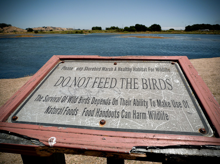
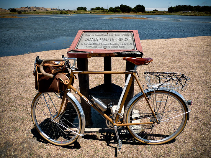
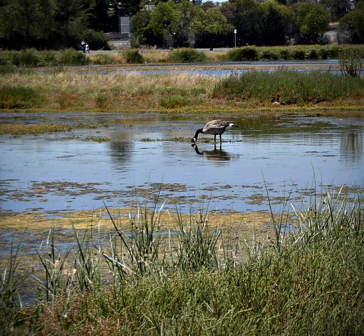
These are images of the Corte Madera Marsh and some bike paths leading to it (discussed in my earlier ride report)
That’s a Canadian goose on the lower left (the geotag shows the spot of this photo). I think the geese use this wetland as a stopover of some kind, but where they go and from whence they come — I do not know.
On a good day the marsh is also full of Egrets, Snowy Plovers, Pelicans, and various ducks.
The marsh is situated within an active urban landscape with:
- the towns of Greenbrae and Larkspur to the north
- a big shopping mall and the Tiburon peninsula to the south
- the San Francisco Bay and the San Quentin Prison to the east
- Highway 101 and the foothills of Mt. Tam to the west
The amount of water in the marsh is infuenced by tide levels and winter rains so there are always new islands and water channels appearing and disappearing day-to-day.
On the Road……Kids on Bikes at Tiburon Ferry Landing

Some future bicyle advocates returning from Angel Island while I wait to board.
On the Road……Ferryboat Plying the SF Bay, Tiburon

From Shoreline Park in Tiburon, looking southwest with Belvedere “island” and the Golden Gate Bridge in the background
Ride Report……Fairfax-to-Angel Island
Having a goal or purpose is important in life and in cycling.
That doesn’t mean you always need a purpose — sometimes it’s okay to allow spontaneity and impulse be your guide.
But on this ride, having the goal of riding to, and circumambulating, Angel Island was critical. Without that goal I would have turned around after 30 minutes because of the extreme gusty wind and fog.
The ride was about 40 miles round trip. I carried water and one PB&J (I ate a hearty late breakfast and didn’t require much else). I wore cotton pants, a cotton t-shirt, a cotton long-sleeve collared shirt. I also brought a thinly-insulated zip-up hoodie for extra layering (but my big regret was not bringing a beanie or cap).
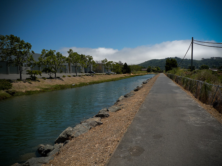
It was sunny and warm when I left Fairfax at about 12:15pm, and the first part of the ride was spent meandering through central Marin towns and cities: the little bike path on the canal behind College of Marin and the path along Corte Madera Creek.
But as I approached the marsh near the Village Shopping Center the winds picked up — probably 15-20 mph head and cross winds with gusts to 25-30 mph on certain straightaways. Gusts flared around nearly every bend of Paradise Drive as I rode the long serpentine back road, past the Romberg Tiburon Center for Environmental Studies, to downtown Tiburon and the Angel Island ferry.
A mile from downtown, the fog and wind let up. The azure sky and stately homes along Marin’s gold coast (Belvedere and Tiburon) stood gloriously against the choppy Bay and the San Francisco skyline. I suddenly felt happy after more than an hour of not-so-happy pedaling.
I had to wait about 20-25 minutes and then caught the 3:00pm ferry across the Raccoon Strait to Angel Island.
When I arrived on the island the fog and wind picked up again and I made a head-down, very earnest turning-of-the-cranks circumambulation of the island. The initial plan was to follow the high fire road, which is the closest a bicycle can get to the top of Mt. Livermore (741′ EL). But the signage was poor and I somehow missed the turn.
Truth be told, I was kind of glad I missed my turn. This way I could follow the more popular (and gentler) Perimeter Road loop and get back to the quay a bit before the 4:20pm return ferry (since I was initially expecting to return on the last ferryboat of the day leaving an hour later.)
Of course, I couldn’t resist stopping for an espresso and a tira misu at Caffe Acri (review to come) once I was back on the mainland. Now, sufficiently energized, I rode furiously home while getting slammed by head winds for most of the trip (but also catching a few miles of tremendous tailwinds — for which I thank the spirit of St. Velocio).
A bit past 6pm, I arrived home to a memorable hot shower.
All in all, it was a frustratingly beautiful day on the bicycle, and well worth the effort!
Route Map……Fairfax to Angel Island by Land & by Sea
gpsbabel_output[maptype=G_Physical_Map; zoom=11]
Here’s a gps file of the ride to Angel Island. The mileage on the elevation profile is one-way. And the point where the pink line ends on the upper map is where my gps data logger ran out of batteries. It wasn’t a bad place for this to happen, however, as by that time the route was already nearly fully logged and delineated.
Remember you can change map types or zoom in or out to taste, using the Google map control buttons.
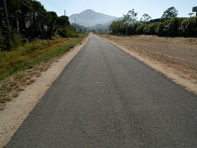
On the Road……Shady Lane, the Town of Ross
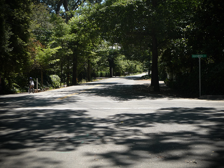
Until the Cal-Park tunnel re-opens to pedestrians and bikers (and trains someday too) all rides heading south from Fairfax (e.g. to San Francisco, Mill Valley, Sausalito, etc.) will likely pass through the Town of Ross.
The enfant terrible, Sean Penn, has a home here and the street above, Shady lane, was featured in Francis Coppola’s film, The Godfather.
The image was made in the first few miles of my roughly 40-mile Angel Island excursion.
On the Road……San Francisco Bay’s, Angel Island

I bicycled to Angel Island (via ferry) over the long holiday week-end. It was a typical July day on the San Francisco Bay — patches of brilliant sunshine mixed with belts of fog and massive wind gusts, due to cold ocean air being sucked into warmer inland areas.
The image above was made on the SW side of the island below the summit of Mount Caroline Livermore (El. 788′). Note downtown SF, Alcatraz, and the Golden Gate Bridge in the background. (You can click on the image for an expanded view).
(Wikipedia fact: Angel Island was part of the mainland until about 10,000 years ago, when sea levels rose as the last ice age came to an end.)
More images, a map, a short ride report, and an espresso review to come.

