Archive for the ‘urban design’ tag
On the Road……Carquinez Strait Loop, near the Benicia Bridge
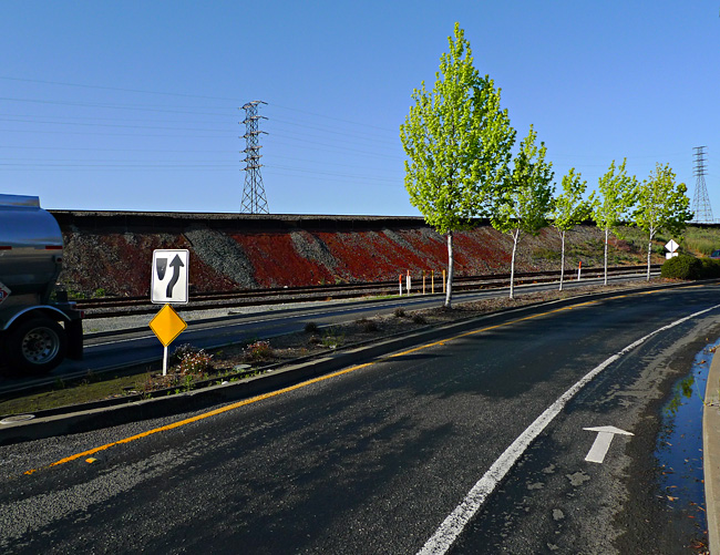
Excellent Class II BIke Lane
Among urban planners:
- Class I is a completely separate bicycle/pedestrian path or roadway (like you see all over Holland).
- Class II is when there’s a separate lane for bicycles (like in this photo).
- Class III is just a shared road, maybe with some road markers here and there.
On the Road……Suburbia

The Suburbs #2
 Show on map (note the view of Mt. Tam)

The Suburbs #3

The Suburbs #4
After reading the first few chapters of David Byrnes’s Bicycle Diaries, I’ve become hyper-aware of the aesthetics of the local suburban landscape. Byrne writes about the underlying paradox of this landscape in the book:
My generation makes fun of the suburbs and the shopping malls, the TV commercials and the sitcoms we grew up with — but they’re part of us too. So our ironic view is leavened with something like love…These suburbs, where so many of us spent our formative years, still push emotional buttons for us; they’re both attractive and deeply disturbing.
I also enjoyed this bit from the Talking Heads co-founder on the joys he experienced after switching to a bicycle as his main mode of transportation around New York City:
As I got a little older I also may have thought that cycling was a convenient way to get exercise, but at first I wasn’t thinking of that. It just felt good to cruise down the dirty potholed streets. It was exhilarating. That same sense of liberation I experienced in New York recurred as I pedaled around many of the world’s principal cities. I felt more connected to life on the streets than I would have in a car or in some form of public transit: I could stop whenever I wanted to; it was often (very often) faster than a car or taxi for getting from point A to point B; and I didn’t have to follow any set route. The same exhilaration, as the air and street life whizzed by, happened again in each town. It was, for me, addictive.
I had a similar epiphany when I starting riding my bicycle again after a long lay-off as a graduate student in Berkeley.
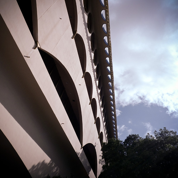
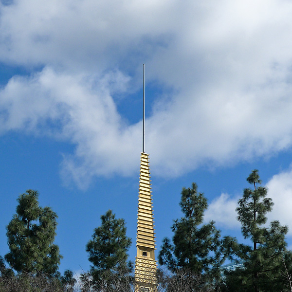
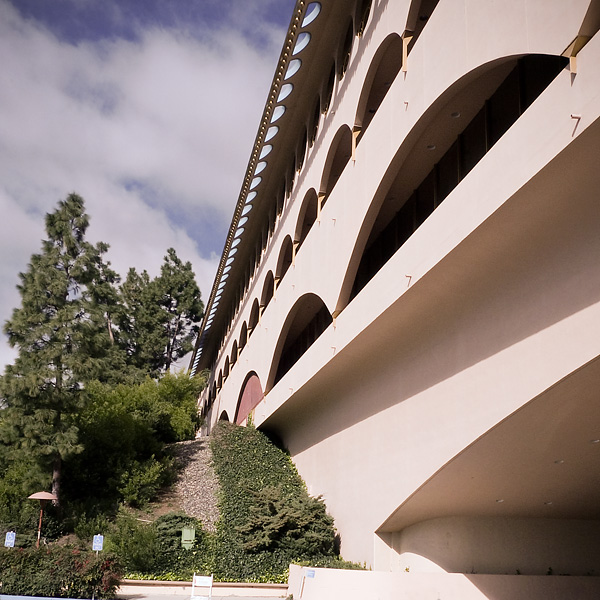
On the Road……Frank Lloyd Wright’s Marin County Civic Center
Here’s a link (and video) with some of the back story of Frank Lloyd Wright‘s awesome building.
Did you know scenes from Gattaca were filmed here, as were scenes from THX-1138 — Marin resident George Lucas’ pre-Star Wars, pre-American Graffiti film?
- If you’ve heard of either of these cult sci-fi films, especially THX-1138, it’s time to face the facts. Ready? Let’s say it together: You are a nerd!
- And if by chance you’ve heard of both Gattaca and THX-1138, I can confidently predict you also know a few things about D&D.
Btw, the Civic Center has a farmer’s market every Thursday and Sunday year-round.
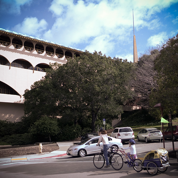
On the Road……Civic Center Farmer’s Market

The amazing thing about the ballot victory at the polls last November — in addition to the north bay finally getting some fixed rail transit — is that the measure included full funding for a $91 million, 70-mile bike and pedestrian pathway stretching from Larkspur all the way to Cloverdale (70% of which is class 1 pathways, meaning bike/ped only — no cars)!
The beginnings of this infrastructure is visible in the image above.
(Full disclosure: I helped lobby for the ballot measure as the Marin Field Rep for Greenbelt Alliance). The Marin County Bicycle Coalition (MCBC) deserves tons of credit for their work spearheading the lobbying.
On the Road……Civic Center Farmer’s Market

The voter approved SMART train (which by 2014 will connect Sonoma and Marin cities to the Golden Gate Ferry in Larkspur) is taking shape .
This image was made on Lincoln Avenue in San Rafael going north toward the Civic Center with Highway 101 on the right. The train will enter downtown San Rafael in the concrete canyon wedged between these two roadways.
On the Road……Re-striping of White’s Hill
This stretch of Sir Francis Drake Blvd. is undergoing changes.
Some recent re-striping gives us cyclists a litle extra shoulder to work with. The black line is where the shoulder used to be.

click to embiggen

